In the SYSSIFOSS project, we acquired laser scanning point clouds of many different forest areas with a UAV. We need the position of all single trees in the point clouds, for example, to fuse data from other sources such as terrestrial or airborne laser scanning. For now, we don't have fully automatic methods to reliably detect tree stems. For a human, however, the identification of a single tree is actually quite easy. And this is where your contribution comes in: We need your help to detect single trees in a point cloud.
The Tree Mapping project shows you single pictures of profiles through the forest point clouds. Your task is to mark trees in these profiles by clicking into the image where you can clearly see the stem of a tree. From this, we can obtain the exact position of the single trees in a map of the forest.
The next page shows how to solve the tasks in a short tutorial.



You are shown a profile of the forest point cloud coloured by the strength of the laser signal. Click into the profile to mark visible tree stems. Set the mark on stem points that are closest to the ground.
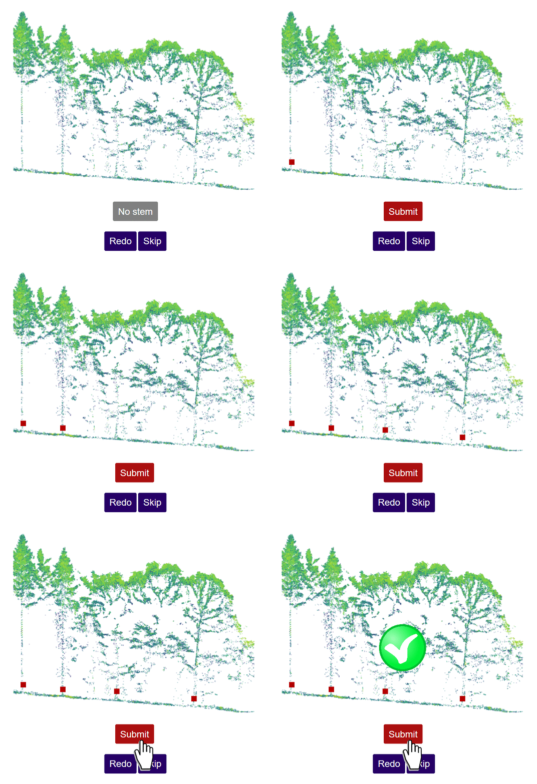
Set markers only where you are SURE you see stems and click “Submit”.
If you are unsure or accidentally marked a wrong point, clear the markers with “Redo” and try again.
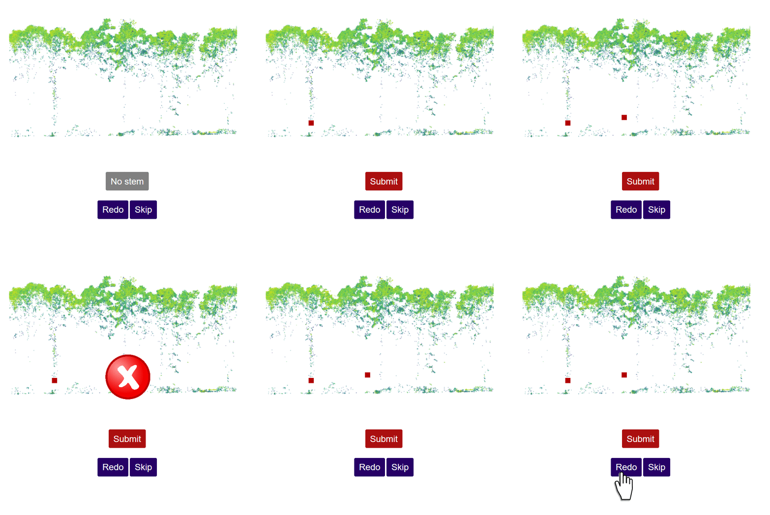
If you are UNSURE can’t recognize stems below the canopy, click “No stems”.
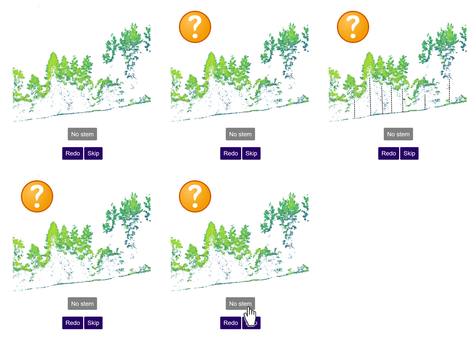
Just “Skip” a task, if you encounter a poor point cloud profile.
- You are now well prepared for mapping trees! -
You can return to the introduction and this tutorial anytime via the "Intro" button on the upper right.



You can close your browser. Or visit the SYSSIFOSS project on:
www.uni-heidelberg.de/syssifoss
Seems you were inactive for a while. Please fill in the reCaptcha to continue your session.
Please complete the reCaptcha.
You are incredible - all tasks done! |
You can close your browser. Or visit the SYSSIFOSS project on:
www.uni-heidelberg.de/syssifoss